Introduction
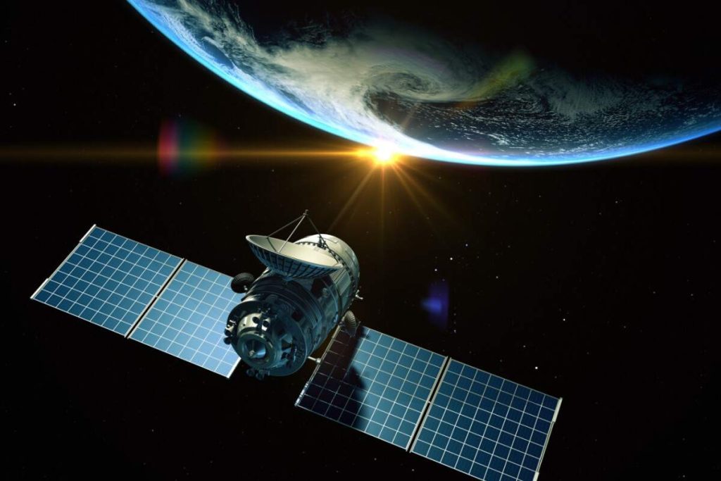
Microwave frequencies, which travel in straight lines, are commonly used for wideband communication. The curvature of the earth results in obstruction of the signal between two earth stations and the signal also gets attenuated with the distance it traverses. To overcome both the problems, it is necessary to use a repeater, which can receive a signal from one earth station, amplify it, and retransmit it to another earth station. Larger the height of a repeater from the surface of the earth, longer is the distance of line-of-sight communication. Satellite networks were originally developed to provide long-distance telephone service. So, for communication over long distances, satellites are a natural choice for use as repeaters in the sky. In this lesson, we shall discuss different aspects of satellite networks.
Orbits of Satellites
Artificial satellites deployed in the sky rotate around the earth on different orbits. The orbits can be categorized into three types as follows:
· Equatorial
· Inclined
· Polar
Time required to make a complete trip around the earth, known as period, is determined by Kepler’s Law of period:
 ,
,
where T is the period, G is the gravitational constant, M is the mass of the central body and r is the radius.

Figure ; Three different orbits of satellites; (a) equatorial, (b) inclined and (c) polar
Footprint of Satellites
Signals from a satellite is normally aimed at a specific area called the footprint. Power is maximum at the center of the footprint. It decreases as the point moves away from the footprint center. The amount of time a beam is pointed to a given area is known as dwell time.

Figure (a) Footprint using a global beam, (b) Footprint using a phased array antenna

Figure 5.10.3 Categories of satellites
Categories of Satellites
As shown in Fig, the satellites can be categorized into three different types , based on the location of the orbit. These orbits are chosen such that the satellites are not destroyed by the high-energy charged particles present in the two Van Allen belts, as shown in Fig. The Low Earth Orbit (LEO) is below the lower Van Allen belt in the altitude of 500 to 2000 Km. The Medium Earth Orbit (MEO) is in between the lower Van Allen belt and upper Van Allen belt in the altitude of 5000 to 15000 Km. The Medium Earth Orbit (MEO) is in between the lower Van Allen belt and upper Van Allen belt in the altitude of 5000 to 15000 Km. Above the upper Van Allen belt is the Geostationary Earth Orbit (GEO) at the altitude of about 36,000 Km. Below the Geostationary Earth Orbit and above the upper Van Allen belt is Global Positioning System (GPS) satellites at the altitude of 20,000 Km. The orbits of these satellite systems are shown in Fig.


Figure Orbits of the satellites of different categories
Frequency Bands
Two frequencies are necessary for communication between a ground station and a satellite; one for communication from the ground station on the earth to the satellite called uplink frequency and another frequency for communication from the satellite to a station on the earth, called downlink frequency. These frequencies, reserved for satellite communication, are divided in several bands such as L, S, Ku, etc are in the gigahertz (microwave) frequency range as shown in Table 1. Higher the frequency, higher is the available bandwidth.
Table 1 Frequency bands for satellite communication

Low Earth Orbit Satellites
The altitude of LEO satellites is in the range of 500 to 1500 Km with a rotation period of 90 to 120 min and round-trip delay of less than 20 ms. The satellites rotate in polar orbits with a rotational speed of 20,000 to 25,000 Km. As the footprint of LEO satellites is a small area of about 8000 Km diameter, it is necessary to have a constellation of satellites, as shown in Fig, which work together as a network to facilitate communication between two earth stations anywhere on earth’s surface. The satellite system is shown in Fig. Each satellite is provided with three links; the User Mobile Link (UML) for communication with a mobile station, the Gateway Link (GWL) for communication with an earth station and the Inter-satellite Link (ISL) for communication between two satellites, which are close to each other. Depending on the frequency bands used by different satellites, these can be broadly categorized into three types; the little LEOs operating under 1 GHz and used for low data rate communication, the big LEOs operating in the range 1 to 3 GHz and the Broadband and the broadband LEOs provide communication capabilities similar to optical networks.

Figure ; LEO satellite network

Figure LEO satellite system
Iridium System
The Iridium system was a project started by Motorola in 1990 with the objective of providing worldwide voice and data communication service using handheld devices. It took 8 years to materialize using 66 satellites. The 66 satellites are divided in 6 polar orbits at an altitude of 750 Km. Each satellite has 48 spot beams (total 3168 beams). The number of active spot beams is about 2000. Each spot beam covers a cell as shown in Fig..

Figure Overlapping spot beams of the Iridium system
The Teledesic System
The Teledesic project started in 1990 by Craig McCaw and Bill Gates in 1990 with the objective of providing fiber-optic like communication (Internet-in-the-sky). It has 288 satellites in 12 polar orbits, each orbit having 24 satellites at an altitude of 1350 Km. Three types of communications that are allowed in Teledasic are as follows;
· ISL: Intersatellite communication allows eight neighbouring satellites to communicate with each other
· GWL: Communication between a satellite and a gateway
· UML: Between a user and a satellite
The surface of the earth is divided into thousands of cells and each satellite focuses it beams to a cell during dwell time. It uses Ka band communication with data rates of 155Mbps uplink and 1.2Gbps downlink.